
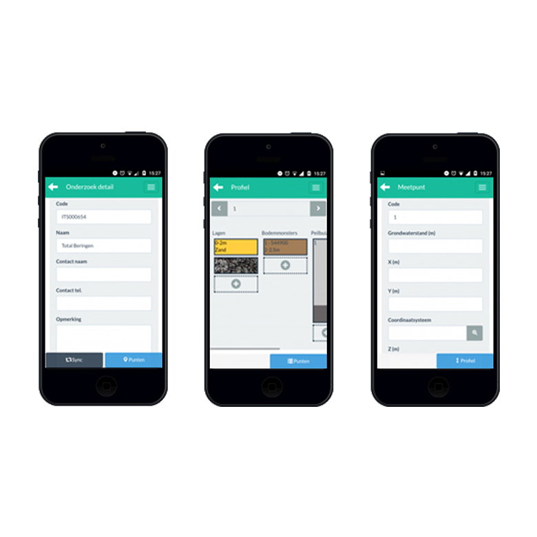
Efficiency in the Field
Register fieldwork with a user-friendly app on your smartphone or tablet. Communicate directly with your office from the field.
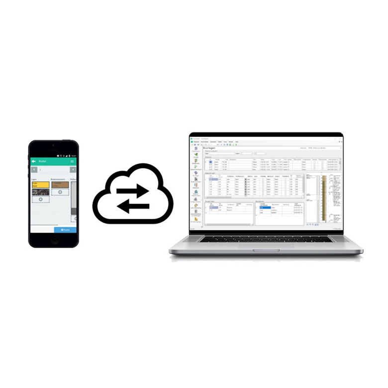
Expertise at your Fingertips
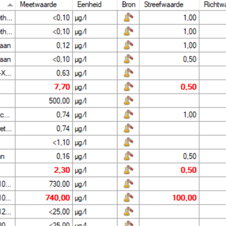
Create lab assignments, assess results, report to clients and authorities. Communicate quickly and easily with fieldworkers, labs, draftsmen, clients, authorities, and other experts.
Fast & Accurate Visualisation
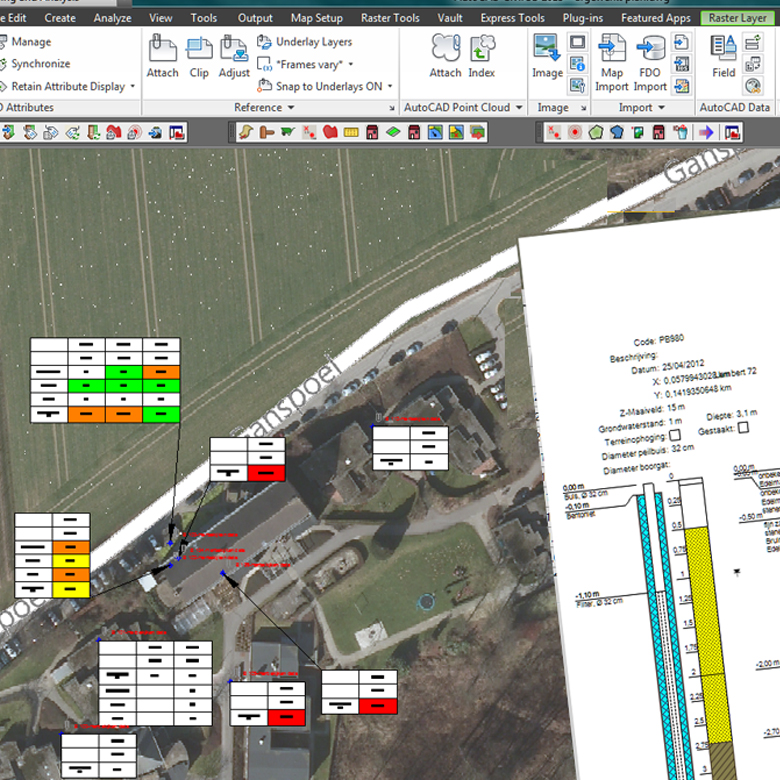
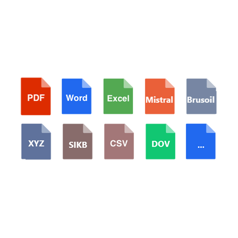
Visualize fieldwork and contamination on maps. Automatically generate cross-sections and groundwater. Export shapes and other formats.
MODULAR SOFTWARE FOR SOIL SURVEY & GROUND INVESTIGATION
TerraBase is comprised of a number of software modules for carrying out fieldwork, administrative processes, map creation/contours, analyses, assessments and reports.
These modules can be used individually or as a complete package, allowing you to tailor the software to meet your specific requirements.
Terrabase
Features


Terrabase Clients
A limited selection of our clients


Terrabase
PACKAGES
TERRABASE FIELD
POA
a month*
- Access to the iTs TerraBase cloud
- Helpdesk included
- Updates included
- License per device**
TERRABASE OFFICE
POA
a month*
- Import fieldwork data, communicate with the lab, assess the results, report to clients and authorities.
- Helpdesk included
- Updates included
- Network license (1 concurrent user)**
TERRABASE CAD
POA
a month*
- Visualize fieldwork, analysis results, and contamination. Create overview drawings and cross-sections.
- Helpdesk included
- Updates included
- Network license (1 concurrent user)**
* Depending on the additional services you require, there may be extra costs. Contact us for a detailed quote.
** Volume discounts may apply to your organization depending on the number of licenses required. Contact us for a detailed quote.